
Introduction to GIS and QGI
This training targets students at PAUSTI. It is designed to equip them with the basics of Geographic Information Science and QGIS, with the overall goal of enhancing research in their respective fields. The training will enable them to add spatial dimension to research data to spatially map them. From the maps, any hot-spots may be detected and recommendations made to encourage/discourage growth of the hot-spots. Further, maps reveal spatio-temporal spread/trend of a factor thus enabling forecasting the areas that the factor will affect/fail to affect with time. Depending on the spatio-temporal trend, the factor may be influenced positively/negatively to encourage/discourage the spread. QGIS has been selected as the training software as it is free.
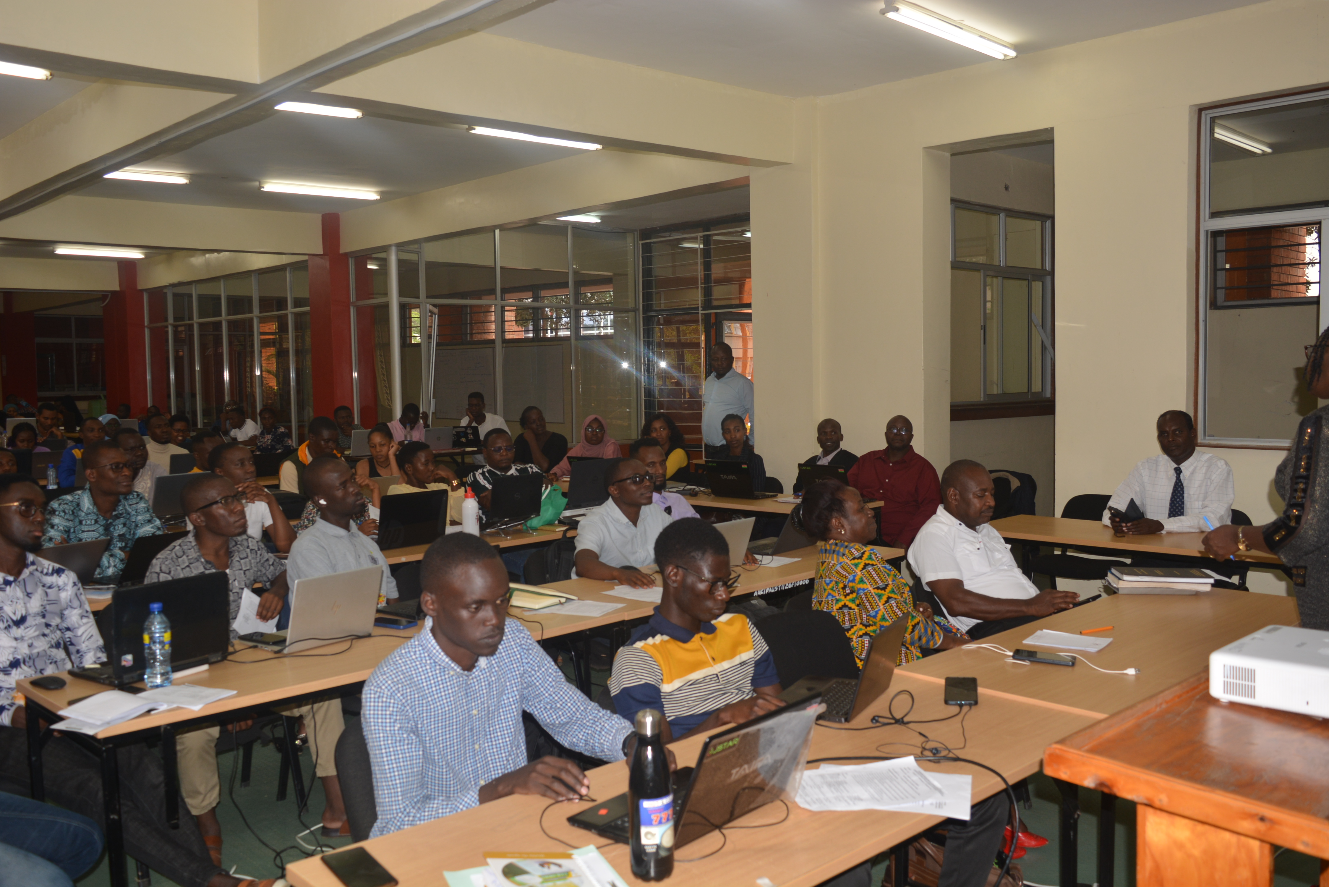
Introduction to GIS and QGIS (12th – 14th March, 2024)
This training targets students at PAUSTI. It is designed to equip them with the basics of Geographic Information Science and QGIS, with the overall goal of enhancing research in their respective fields. The training will enable them to add spatial dimension to research data to spatially map them. From the maps, any hot-spots may be detected and recommendations made to encourage/discourage growth of the hot-spots. Further, maps reveal spatio-temporal spread/trend of a factor thus enabling forecasting the areas that the factor will affect/fail to affect with time. Depending on the spatio-temporal trend, the factor may be influenced positively/negatively to encourage/discourage the spread. QGIS has been selected as the training software as it is free.
Day 1: Theory
Introduction to Geographical Information Science
1. Geographic/Geo-spatial Information Science/System
2. Components of GIS
3. Coordinates: geographic and projection
4. Map projection: UTM
5. Spatial and non-spatial data
6. Raster and vector data models
7. Maps: symbol, choropleth
8. Graphs/charts: bar, line, pie etc.
Stationery: whole-circle and half-circle protractors (same diameters), soft ball, cutter, two permanent markers (different colours) - enough for a group of four students, calculators.
Activity (after training): list all the spatial and non-spatial data you intend to use / are using for your research.
Days 2 and 3: Skills
Introduction to QGIS
Day 2
1. Picking coordinates by mobile phone
2. Picking coordinates from Google map
3. Constructing coordinates list in Excel
4. Constructing attribute data in Excel
5. Mapping feature locations in QGIS
6. Exploring features in QGIS
Activities
i. Collect the geographical coordinates of the spatial data under Activity 1
ii. Construct an Excel list of the spatial data, their coordinates and attributes
Day 3
7. Mapping attributes in QGIS
8. Spatial analysis in QGIS
Stationery: computer (QGIS installed). Installation instructions attached.